Sylvicultural procedures in catchment areas of the mountain streams as exemplified by the Skrzyczne massif in Poland
Autorzy
-
Stanisław Małek
University of Agriculture in Krakow, Faculty of Forestry, Department of Forest Ecology, Al. 29 Listopada 46, 31-425 Kraków, Poland
phone: +4812 6625077, e-mail: rlmalek@cyf-kr.edu.pl - Józef Barszcz University of Agriculture in Krakow, Faculty of Forestry, Department of Forest Ecology, Al. 29 Listopada 46, 31-425 Kraków, Poland
- Krzysztof Majsterkiewicz Regional Directorate of the State Forests in Katowice, Huberta 43/45, 40-543 Katowice, Poland
Abstract
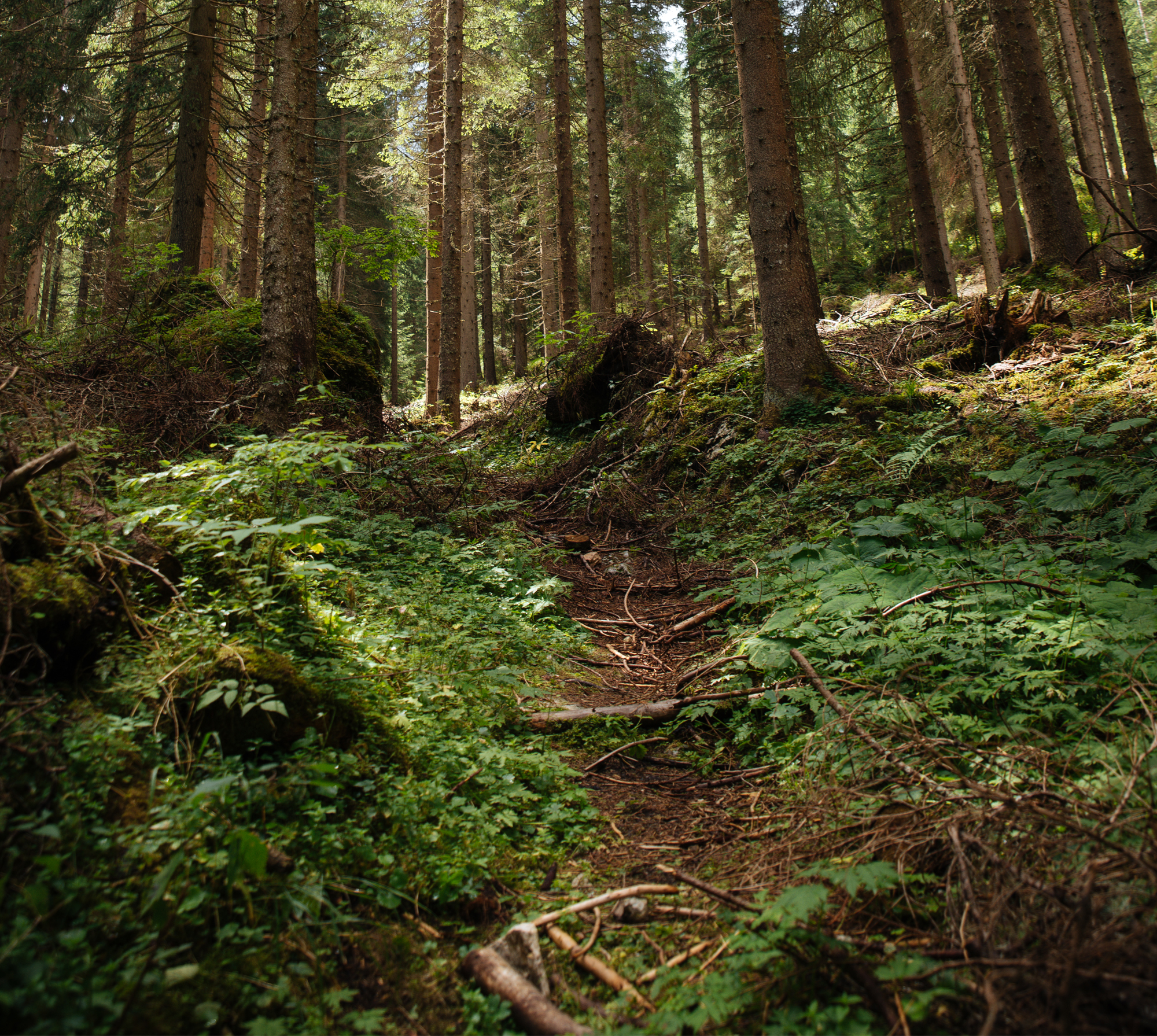
Extensive disintegration of spruce forests in the Beskidy Mts. in South Poland generates a need to regenerate sizeable areas as well as to rebuild forest stands which have defended themselves against breakdown. In practice, the magnitude of relevant management tasks does not allow for keeping up with the progressive destruction of forest, especially at higher altitudes, where natural regeneration does not occur as much as necessary. In addition, the species composition is limited to spruce, sometimes accompanied by beech and fir, whereas other species have a negligible share. What may be helpful in solving this problem is the method of regeneration of such areas and of establishment of under-canopy cultures, consisting of patchwork, multi-stage regeneration task performance, starting from the areas with the best chance of reforestation success and using the existing self-sown trees. Such areas undoubtedly include habitats with better water balance, i.e. humid habitats (in the case of larger areas, distinguished in the forest management plan as humid forest site types). The aim of the present study was to propose management of watercourses and headwater areas in the region of the Skrzyczne massif where the selected catchments are situated on the southern (the Malinowski Stream) and the northern (the Roztoka Czyrna stream) slopes of this massif. The research was carried out in August 2012 and included juxtaposition of available hydrological maps with actual field conditions along with identification of springs and streams and the course of their beds in order to update the existing data. The updating of the forest numerical maps in the existing databases of the State Forests IT System (SILP) included verification of the course of streams and determination of their nature (penament or periodic) with a division into the existing ones and the added ones. The data was recorded against the background of the division of the forest surface, contour lines, major roads, climate and plant floors and forest habitat types. The total length of streams was ascertained. The catchment areas and areas along their beds were determined by adopting variable distances from the beds, depending on climate and plant zones and the slope gradient. The adopted distances were: 5 m in the upper forest zone, 10 m in the middle forest zone, 20 m in the lower forest zone on both sides of the bed and in the headwater area within the radius of 10 m from a source. Specific sylvicultural procedures in headwater areas and in the neighbourhood of watercourses were described in each climatic and vegetation zones.
| DOI | 10.2478/ffp-2014-0002 |
|---|---|
| Source | Folia Forestalia Polonica, Series A – Forestry |
| Print ISSN | 0071-6677 |
| Online ISSN |
2199-5907 |
| Type of article |
original article |
| Original title |
Sylvicultural procedures in catchment areas of the mountain streams as exemplified by the Skrzyczne massif in Poland |
| Publisher | The Committee on Forestry Sciences and Wood Technology of the Polish Academy of Sciences and the Forest Research Institute in Sekocin Stary |
| Date | 20/03/2014 |
- Klamerus-Iwan A., Sporysz M. Laboratory determination of potential interception of young deciduous trees during low-intense precipitation
- Małek S., Barszcz J., Majsterkiewicz K. Sylvicultural procedures in catchment areas of the mountain streams as exemplified by the Skrzyczne massif in Poland
- Błońska E., Lasota J. Biological and biochemical properties in evaluation of forest soil quality
- Barroso Lopes D., Mai . Mechano-sorptive creep of Portuguese pinewood chemically modified
- Kruk H., Kornatowska B. Sustainable forest management in Poland – theory and practice
- Nikolaeva M., Kh. Faizulin D., Potokin A., Jamaleev O. Comparative evaluation of preservation and growth of spruce climatypes based on long-term provenance trials in Russia

